


Trail No.7 The Shar Cheese Trail - KS

DOWNLOAD GPX POINTS OF INTEREST
Positioning – mountain
- Shar Mountain / south region
Starting point
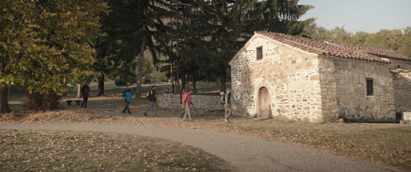
- Arxhena recreational center at Brod Village
Description of the trail
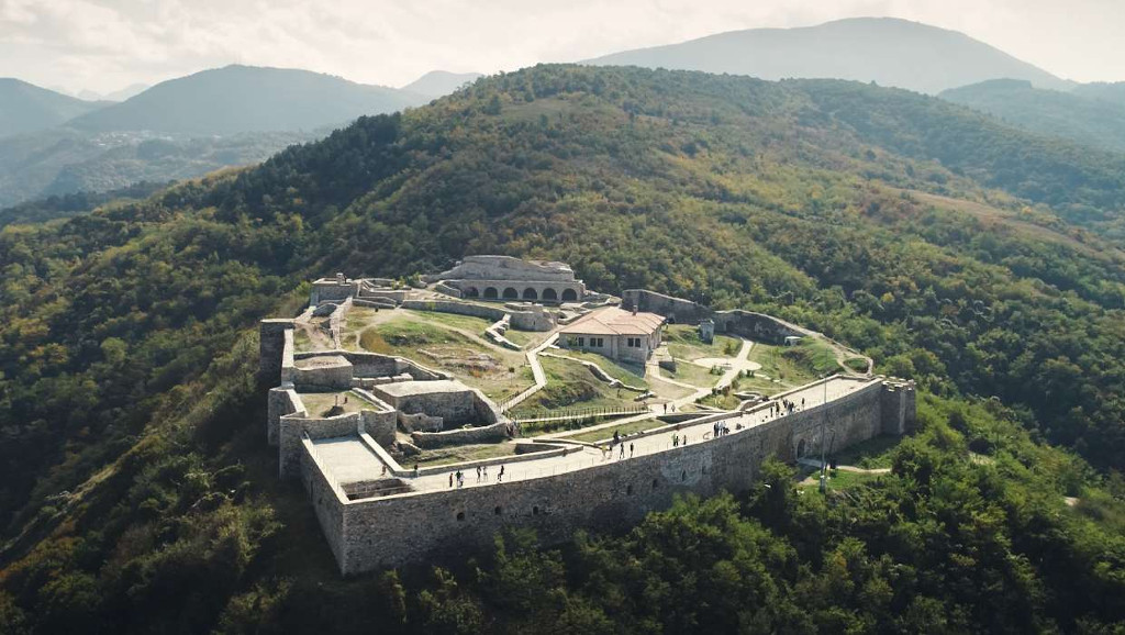
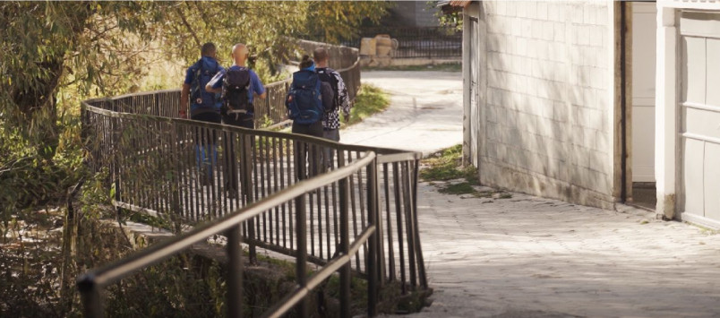
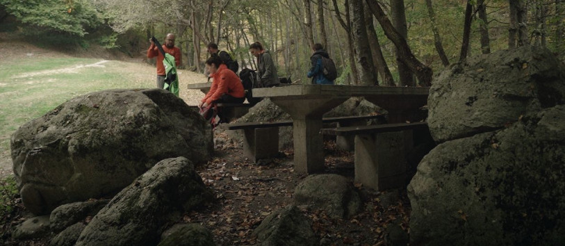
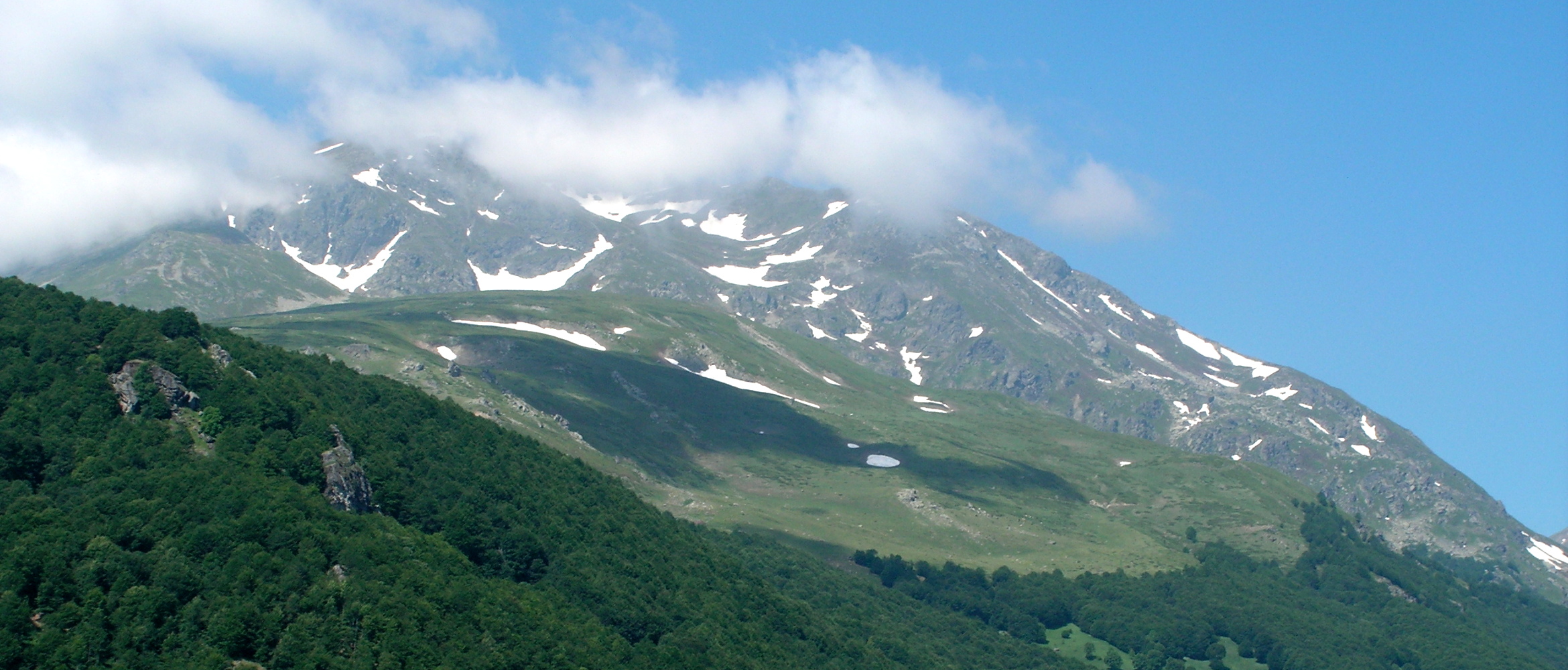
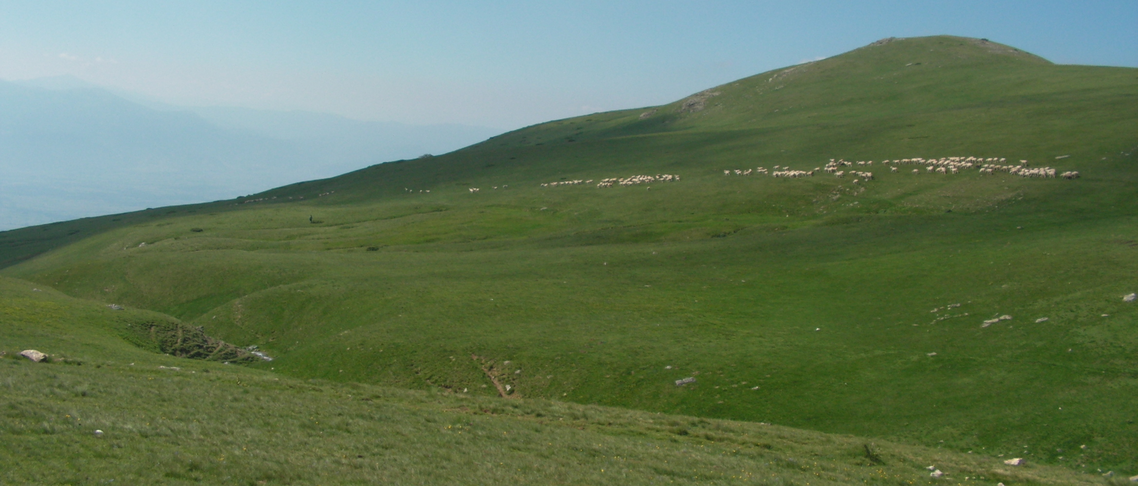
The journey to this trail starts from Prizren, from where you reach the starting point of the trail following a 1 hour and 40 minutes’ drive through beautiful landscapes and nature. The trail is perfect destination for hikers who also like to take pictures along the route and share their memories later. A number of positions through the trail provide panoramic views and pristine natural environment. The starting point is at altitude of 1400 m above sea level. The first part of the trail goes along a beautiful small river through rich pastures and hills. At this part, the visitors can enjoy water streaming and beautiful rocky wall named locally as “The Stone of a Bride”. The middle part of the trail provides an open view through meadows going through ski lifts and upper section of ski resort. Following further, through the ridge of Zlipotok, the path reaches a throw peak on 2292 m/asl. This mountain ridge provides an opportunity for endless pasture view. The road further passes by the glacial lake of Shutman which is not too deep and provides a good refreshing opportunity. Approximately 25 minutes down the hill the hikers will have an opportunity to rest and taste traditionally made Shar Cheese at the Shutman shepherd huts. Last part of the trail is an old dirt road that was used by local population to travel to Gostivar in old times. This section of the trail is rich with water springs and lot of water streams.
Technical and touristic data:
Altitude at the start point
- 1427 m/asl
Highest point
- 2292 m/asl
Height difference:
- 865 m, -1152 м
Altitude at the end point
- 1140 m/asl
Trail duration
- 5 - 6 hours
Trail length
- 18 km
Trail difficulty
- ☆ ☆ ☆ ☆ ☆
Required level of physical fitness
- ☆ ☆ ☆ ☆ ☆
Panoramas and landscapes:
- The trail provides panoramic view to both sides of the west valley of Restelica village; to East Celepino peaks; to South Vraca peaks; to South west Korab massive; to South east Rudoka and Plato of Tia Voda
Access to the start point
- Prizren - 50 km, Dragash - 16 km , Prishtina airport - 115 km,
- Starting point has parking spaces for vehicles, and the location can be reached also by public transport from Prizren.
Access to the end point
- At same place as the trail is formed as a loop
Places of tourism interest
- Arxhena Resort
- Zlipotok Peak
- Shutman Lake
- Shutman Shepherd huts
Accommodation and food
- Arxhena Resort
- Guest Houses Brod village
- Hotel Meka Dragash
Public transport:
- Local transport to Prizren – Dragash, at 06:00, 13:30; 15:00, 18:00
- Taxi
Trail No. 7 images - KS


GET YOUR MOBILE APP
 |
 |
||
 |
 |
 This web has been produced with the assistance of the European Union. The content of this web is the sole responsibility of the implementing organisations and can in no way be taken to reflect the views of the European Union.