


Trail No.3 The bear trail - KS

DOWNLOAD GPX POINTS OF INTEREST
Positioning - mountain
- Sharri Mountain / central region
Starting point
- Manasterica Village
Description of the trail
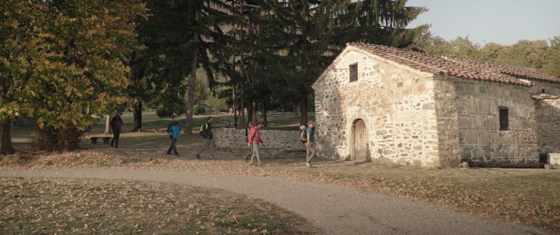
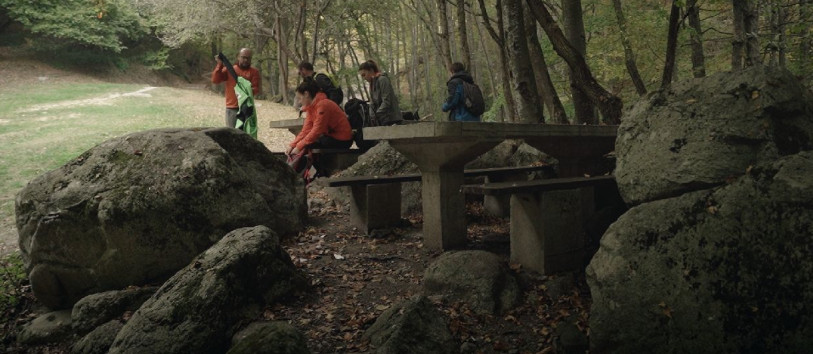
The starting point of this trail is at the exit of the village, towards the mountain, which continues further uphill in the next 3km to the ridge and up to the place called Meto Bajraktari which is flat and has a water source. This particular point at the trail can be used for refreshment and a photo break. The second part of the trail is covered with beech trees that is partially dense. This part which is downhill, goes towards the village Donje Ljubinje, which is well known for traditional wedding ceremonies, particularly the tradition of the “face painting” of the bride. The trail can be extended to the direction of village Gornje Ljubinje to the place named Brod, where one can find accommodation and food, provided by a fish restaurant.
The region also includes a bear population.
- Like all bears, the brown bear walks plantigrade, that is on the whole foot
- The footprint of the front foot has a length of about 16cm and back foot approximately 26cm.
The mating season of brown bears is from May to July. Male and female bears are also polygamous and can join several partners several times. The fertilized egg remains free in the uterus for up to five months, only by nesting in the uterine wall at the beginning of hibernation, is the moment when the real pregnancy begins. Cubs are born between January and March. The litter is usually two or three cubs, and the female bear raises them independently. During this stage, the female bear is extremely aggressive and can occasionally attack male bears if they try to get close to the young. The young bears stay with their mother for one and a half to two years. As soon as she is ready to mate again, she leaves her cubs. The cubs stay together for several months and then set out to find their own ground.
Note: Brown Bear in Shar Mountain do not attack human in normal condition.
For more details contact local guide from Sharri Ecotour.
Technical and touristic data:
Starting point altitude:
- 1051 m/asl, 42’7’.696 N, 20’48.41 E
Highest point:
- 1661 m/asl, 42’7.2094 N, 20’49.9974 E
Destination altitude:
- 914 m/asl, 42’8.0021 N, 20’51.4966 E
Height difference:
- 610m.
Duration of the tour:
- 4 hours
Length of the tour:
- 6 km
Trail difficult:
- ☆ ☆ ☆ ☆ ☆
Required level of physical fitness
- ☆ ☆ ☆ ☆ ☆
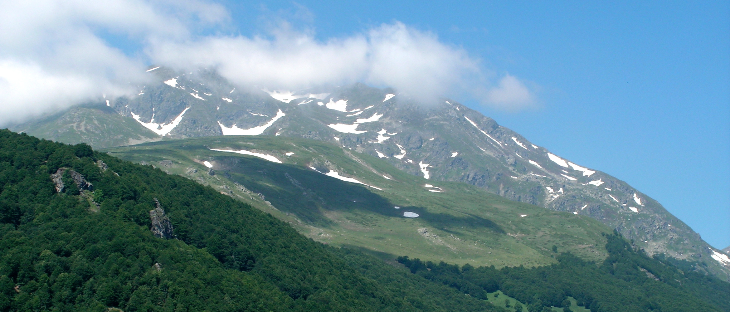
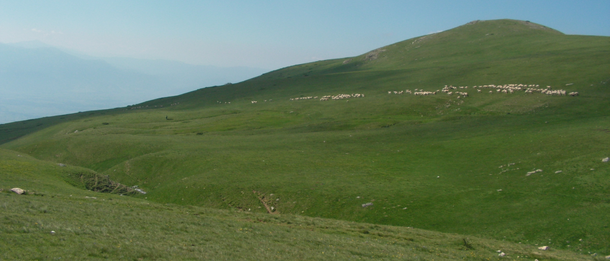
Panoramas and landscapes
After passing through the village the off-road continues by the river stream and to the bridge. The landscape is always different all along year. If it is a dry summer, than in the beginning is dusty trail but on the upper part is better grass and meet with horse footprint within private and public land forest covered on the trail. At the highest point you will have much better view and being in front of the massive mountain Vertop 2555m.
Access to the start point
- Drive to Manasterica from Prizren is 16 km, from Prishtina 100 km and from Skopje is 97km
Access to the end point:
- Drive to Donje Lubinje on Regional road R115 from Prizren 16 km, from Skopje 96, and from Prishtina 101 km
Places of tourism interest
Zhupa valley, Manasterica and Lubinje villages still live in the traditional way. By nature, they are positioned in the central area of Shar Mountain by Kosovo. The landscape is varied throughout the year.
Accommodation and food
- Village Manasterica has good and big houses for rent
- Lubinje B&B Papraqina.
- Prizren has more accommodation capacities and not more than 16 km far from the start.
Public transport:
- On a daily bases, there is a local van, on every 2nd hour from Prizren
Trail No.3 images - KS


GET YOUR MOBILE APP
 |
 |
||
 |
 |
 This web has been produced with the assistance of the European Union. The content of this web is the sole responsibility of the implementing organisations and can in no way be taken to reflect the views of the European Union.