


Trail No.1 The big pine trail - KS

DOWNLOAD GPX POINTS OF INTEREST
Positioning – mountain
- Shar Mountain / central region
Starting point
- Kopana Voda, Mountain Hut NP Sharri
Description of the trail
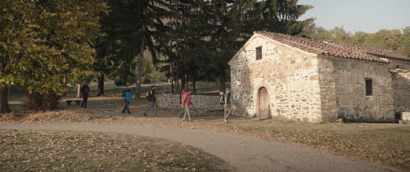
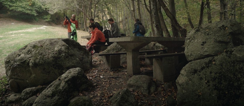
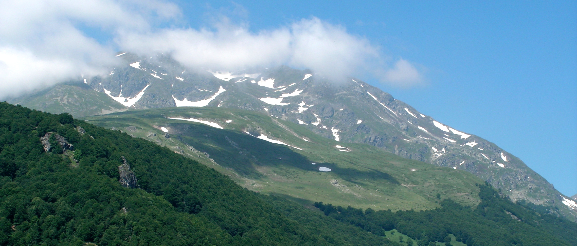
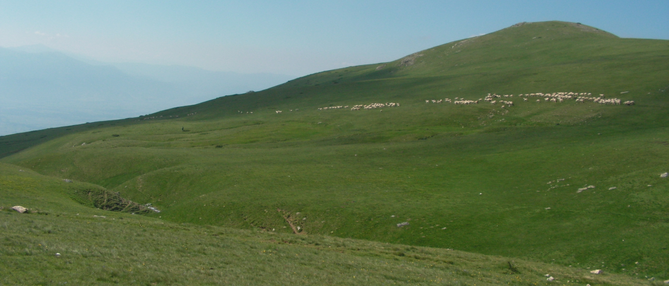
The trail starts from the pine trees close to the mountain hut Kopana Voda 1540 m/asl. The trail is directed with the sign posts southeast to the panoramic sport place called Bulec, crossing through the partially burned pine trees to the place called Virovi (wet ponds to have fresh water on spring) close to sheep farmer – Orhan Latifi. From there, climbing to the Oshljak Mountain limestone rock in the southeast, to the east directed with the ridge to the highest point of the trail 2212 m/asl. Last 10 km is a downhill with scenic 360° view, before the hiking ends in Prevalla recreation center or to Gornje Sello road (R115).
Technical and touristic data:
Starting point altitude
- 1540 m/asl
Highest point
- Summit Oshlak – 2,212 m
Destination altitude
- 1430 m/asl
Height difference:
- 582 m
Duration of the tour:
- 5 hours
Length of the tour:
- 14 km
Trail difficulty
- ☆ ☆ ☆ ☆ ☆
Required level of physical fitness
- ☆ ☆ ☆ ☆ ☆
Panoramas and landscapes:
- The start of the trail has a very refreshing air getting from the big pine trees
- Only after 10 min it becomes very frontal and provides a panoramic view of the most highest and impressive peaks of Sharri between Kosovo and Macedonia.
- The thin trail goes and crosses through the big pines, along the ravine part of the trail before the spring
- The last stage of the trail is with open and very panoramic view form 360° from where one can see the Zupa and Sirinicka valley and the ski center Brezovica too.
Access to starting point:
- Prizren - Kopana Voda Mountain Hut NP Sharri 12 km, Skopje 112 km, Tirana 200 km
- Local road Prizren – Novo Sello 7 km, and Skorobishte 11 km
The city of Prizren has city parking lots, with parking spaces for a large number of vehicles.
Access to the ending point:
- Regional road R115 from Prizren 25 km
- Regional road R115 from Brezovica 22 km
- Skopje to Brezovica – Prevalac 75 km
- There are few parking spaces the starting and ending point
Accommodation and food
- Mountain Hut Kopana Voda – NP Sharri
- Hotel Sharri – Gornje Selo
- Restaurant Gold – Mushnikovo
- Kulla e Jetimit - Prevala recreation center
- Hotel Eja, Yjet e Sharrit - Prevala
- Hotel Morea – Prevalla.
Public transport:
- No organized transport, only local taxi that can be used only in one direction, with price ~30 euro for 4x4 vehicle.
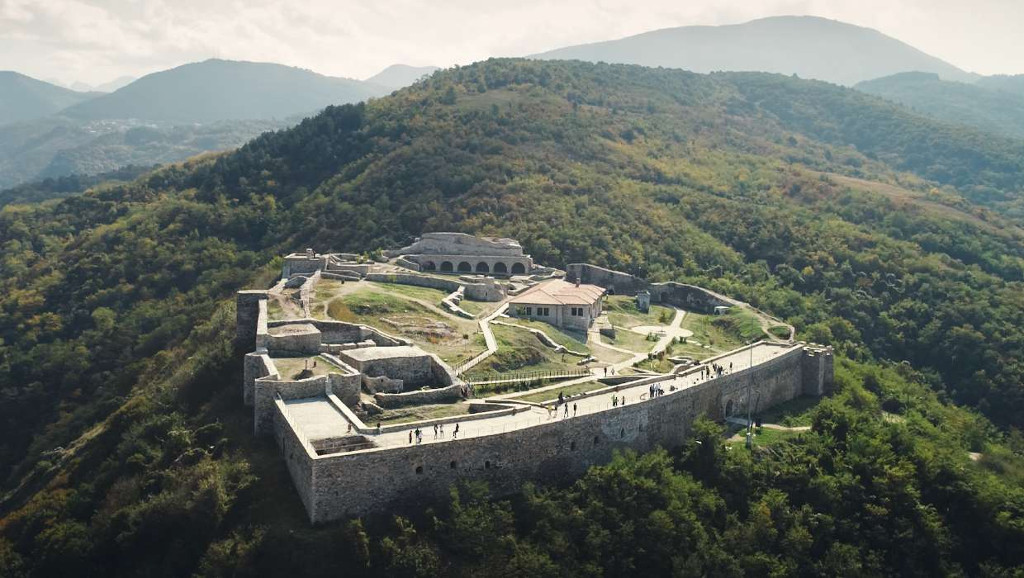
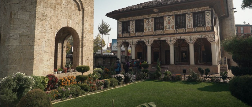
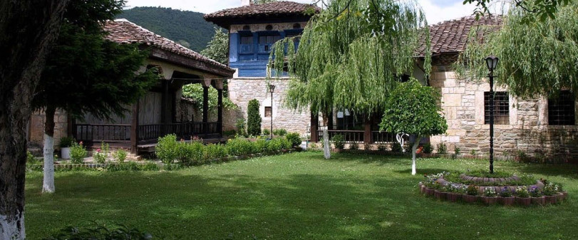
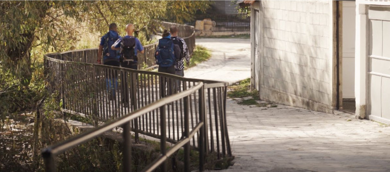
Trail No.1 KS images


GET YOUR MOBILE APP
 |
 |
||
 |
 |
 This web has been produced with the assistance of the European Union. The content of this web is the sole responsibility of the implementing organisations and can in no way be taken to reflect the views of the European Union.